

All-In-One Offline Maps is an app designed to provide comprehensive map access and navigation tools, particularly in situations where internet connectivity is unreliable or unavailable. It allows users to store a wide array of map types directly on their device, ensuring quick access even without network coverage. This capability is especially useful for travelers, outdoor enthusiasts, or anyone needing to conserve mobile data, as maps, once displayed, are saved for future offline use. The app distinguishes itself by not including advertisements, refraining from data sharing or monetization, and operating without analytics or third-party libraries, prioritizing user privacy.
Offline Map Storage and Layering
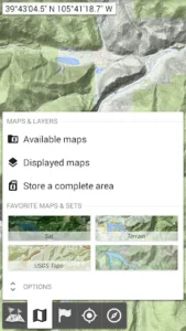
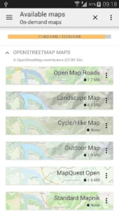
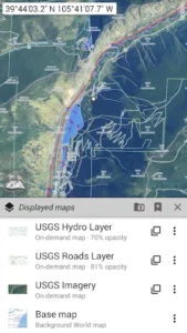
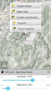
The app supports a diverse collection of maps, encompassing classical road maps, topographic maps, and aerial (satellite) imagery. Users can access various sources such as OpenStreetMap (including Road and Topo layers), USGS National Map (offering high-resolution topo and aerial imagery), and Worldwide Military Soviet topo maps. A key feature is the ability to stack multiple map layers, with precise control over each layer’s opacity, allowing for customized map views. Large geographical areas can be selected and stored for offline access with a few interactions, and this stored map data can be easily managed and deleted to free up space.
Placemark Management and Advanced Navigation
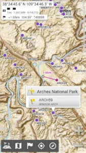
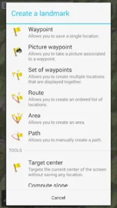
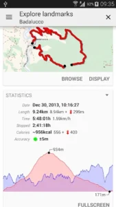
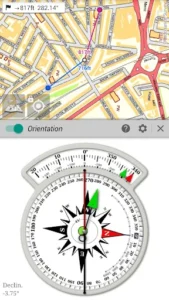
Users can augment their maps with various custom items, including waypoints, icons, routes, areas, and tracks. These placemarks are managed through a dedicated SD-Card Placemarks Explorer. For on-the-go navigation, the app displays the user’s real-time GPS location and direction directly on the map. The map view can also be rotated to align with the user’s actual orientation, depending on the device’s capabilities, with an easy toggle to conserve battery life. It supports multiple distance units—metric, imperial, and hybrid—and accommodates a wide range of GPS Latitude/Longitude and grid coordinate formats, such as UTM, MGRS, USNG, OSGB Grid, Irish Grid, Swiss Grid, Lambert Grids, DFCI Grid, and QTH Maidenhead Locator System. Additionally, the app facilitates importing hundreds of coordinate formats from spatialreference.org and offers on-map grid displays for precise location referencing.
Privacy-Focused Operation
A core aspect of All-In-One Offline Maps is its commitment to user privacy. The app operates without any advertisements, does not engage in data sharing or monetization, and incorporates no analytics or third-party libraries. This design choice ensures that user activity and location data remain private to the user, without external tracking or commercial exploitation.
Recent Enhancements
Recent updates to the app include the addition of a new default AlpineQuest Topo map and an undo button within the placemarks creators and editors, streamlining the workflow for custom map annotations. The icon selector now features a recently used category and a text field for filtering icons by name. Similarly, location format selectors allow filtering by name or country. Furthermore, kilometers/miles markers are now displayed along tracks, with a dynamic coloring system based on distance.







Write a review